By Jonathan Woods
June 2, 2022
- A new computer vision framework accurately determines zebra and quagga mussel coverage, abundance, and biomass in underwater imagery.
- The framework has the potential to inform accurate, up-to-date mussel density maps, key to reducing harmful impacts on ecosystems and infrastructure.
- Use can multiply biologist time productivity and task cost-effectiveness.
- The framework opens the door for further environmental applications.
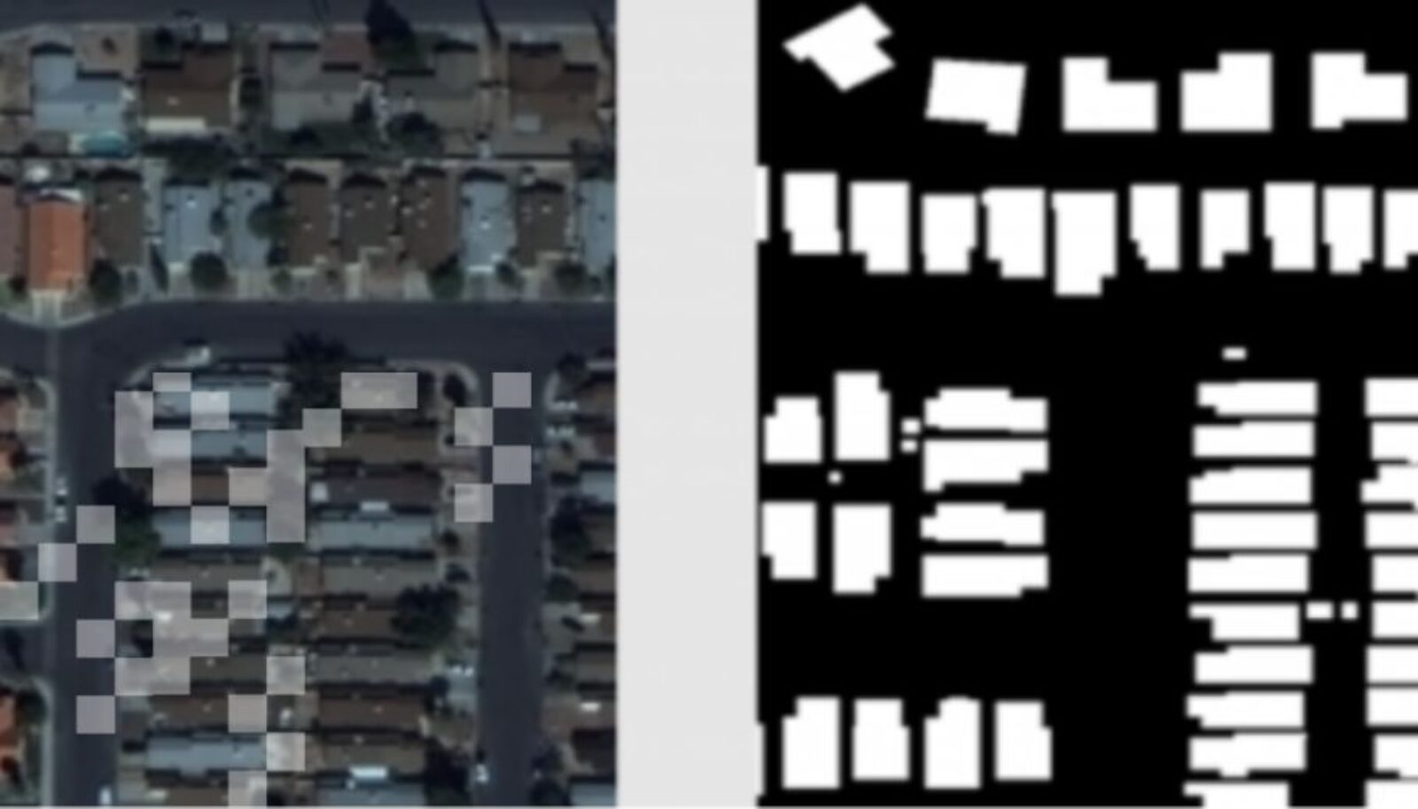
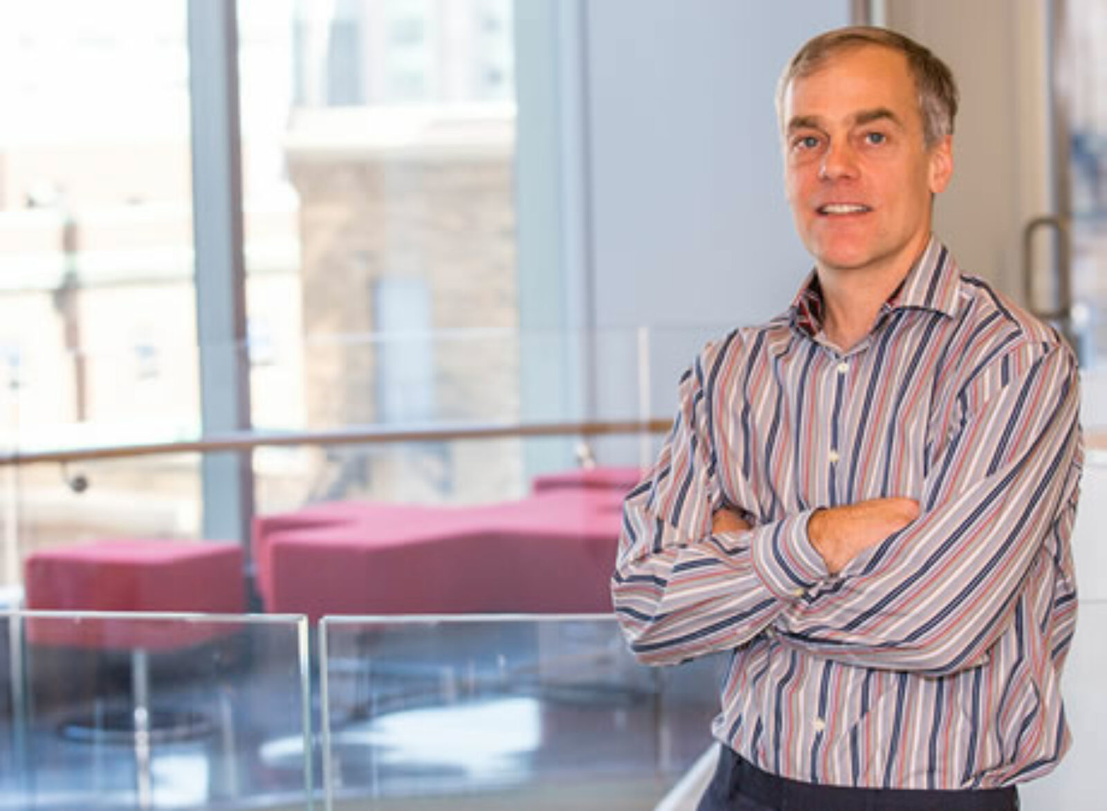
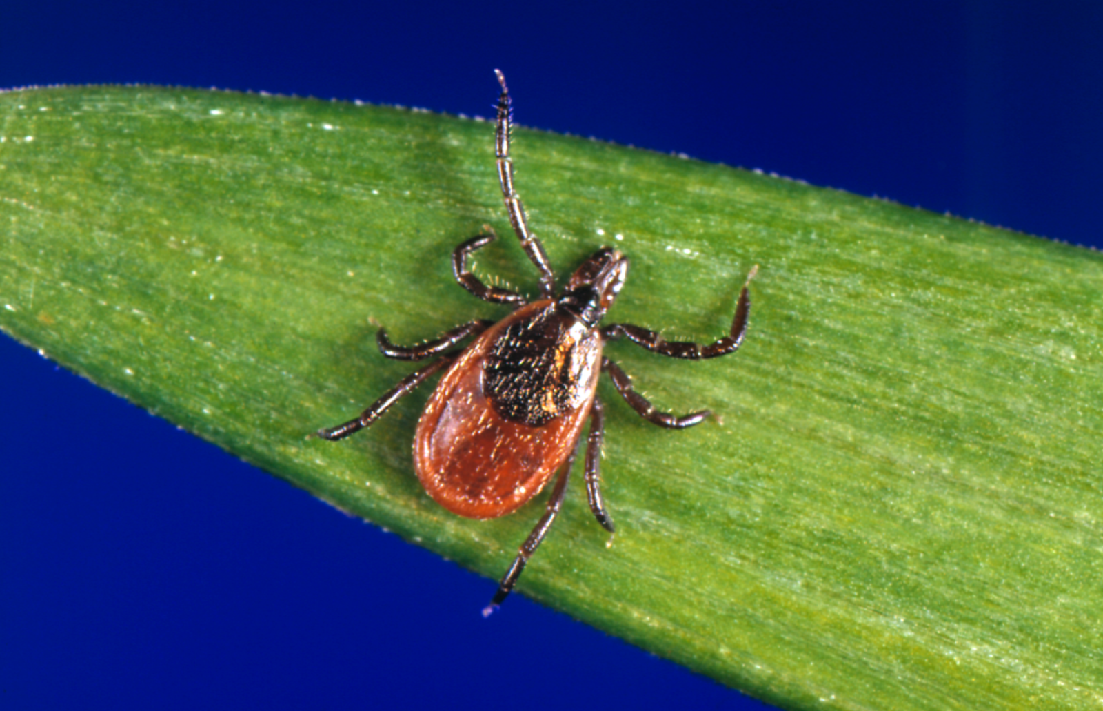
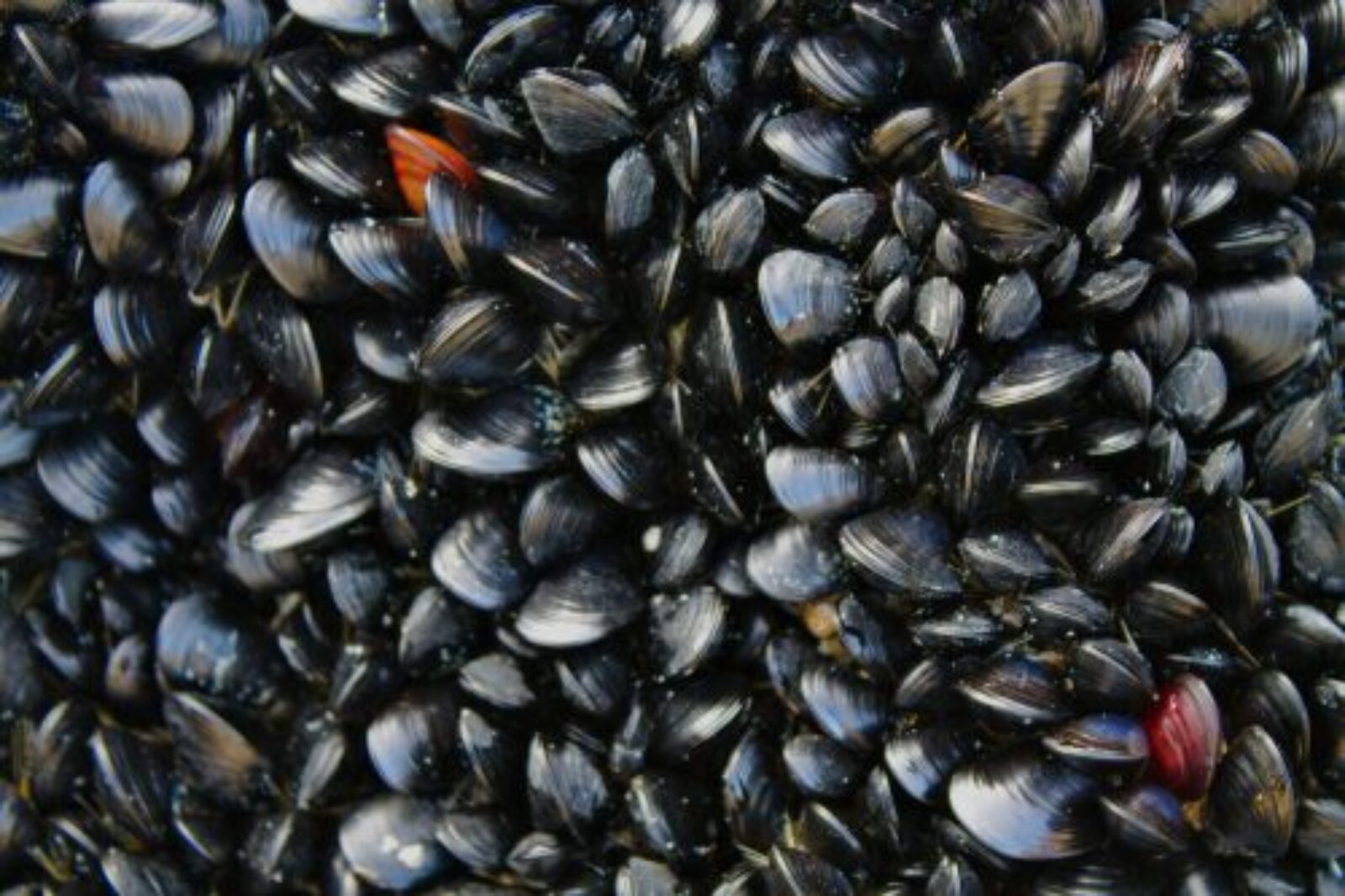
Vector Institute researchers have developed a new AI framework that can help biologists better map, monitor, and manage invasive mussels in Canada’s freshwater lakes. In the first application of its kind, Vector PhD student Angus Galloway and Vector interim Research Director Graham Taylor used computer vision to automatically identify individual zebra and quagga mussels in images of lakebeds, providing “an efficient and accurate solution for mapping mussel populations at a scale that was previously impossible,” as a recently published paper on the framework explains. “This is an area where ML has been under-explored,” says Galloway. “It’s a great fit for the hazardous, overwhelming task of surveying lake bottoms, rivers, and coastal oceans, typically performed by scuba divers.”
Invasive mussels are a major problem in Canadian freshwater lakes: they disrupt ecosystems, facilitate algae growth, and clog vital infrastructure like drinking water intakes. Accurate, up-to-date mussel density maps are crucial for monitoring and managing their effects. However, current maps rely on data collected manually, a process that often involves dredging by scuba divers or time-consuming image analysis by experts. They don’t reflect the variability of mussel populations at different times and in different locations, since analysis is limited by the number of sites divers can visit and images humans can assess. “By doing very dense mapping, we can know precisely where the problem is and deploy resources to it,” says Taylor. “It can enable very targeted treatments.”
Galloway and Taylor developed the framework after Environment and Climate Change Canada scientists contacted Vector seeking potential AI solutions for analyzing their library of lakebed images. Using 1,600 photos of Lake Erie and Lake Ontario lakebeds taken between 2016 and 2018, the researchers trained a computer vision model to identify individual mussels and determine mussel coverage (the percentage of an area occupied by mussels), mussel abundance (the number of individual mussels per unit area), and mussel biomass (the dry weight of mussels per unit area). “Now that we have the dataset and it’s been open-sourced, the work that experts are doing to label these images can be picked up by other groups that deploy this in other bodies of water, says Taylor. “It’s an amplification of their efforts.”
The framework achieved 85%, 79%, and 71% agreement with expert human analysis on mussel coverage, abundance, and biomass respectively, and presents several advantages over current manual analysis methods including:
- improved accuracy over time as the model learns
- increased cost-effectiveness as the model analyzes images in milliseconds regardless of mussel count per image
- multiplication of biologist time productivity through efforts focused on image labelling to train models instead of manual counting of mussels to create density maps.
“The method is already good enough to estimate mussel coverage in typical areas in the Great Lakes under suitable conditions,” says Galloway. “The next step is to close the accuracy gap with the physical divers that are underwater.”
The framework also opens the door for further environmental applications. “Advances that we can make looking at mussels will impact people working with other aquatic ecology issues,” says Taylor. Through fine-tuning, the model could be adjusted to detect other species of interest, like the invasive round goby fish, or to be applied in other environments, like the Niagara River or coastal ocean.